















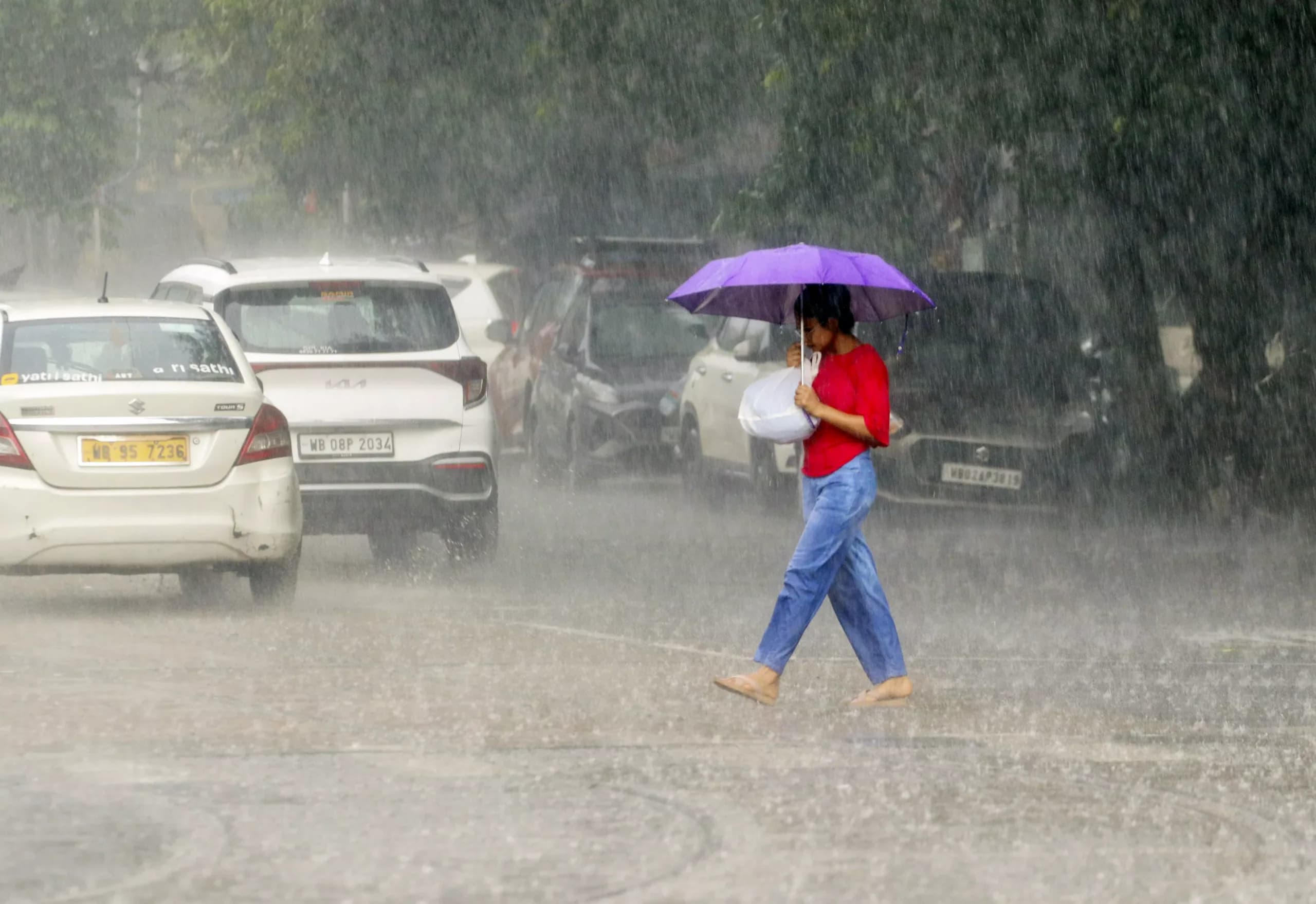
The low-pressure system over Bengal has now shifted westward. But its exit hasn’t ended the rain overnight. However, a few areas in the state, like in Kolkata, are expected to see continued rain in the coming days, as the Alipore Meteorological Department has predicted heavy showers at isolated places in North and South Bengal.
No new area of low pressure or cyclone is forming over the sea at present. Despite this, the dry spells are not expected to become more severe anytime soon. The remaining moisture along with an active monsoon axis will help to keep building rain clouds over other parts of the state.
Kolkata, Howrah and Hooghly may see thunderstorms
Kolkata and neighbouring districts are likely to experience a mix of cloudy weather, rain and thunderstorms. Scattered showers accompanied by thundershowers are expected in Kolkata, Howrah and Hooghly on Monday and Tuesday.
ALSO READ| Why do the survivors describe the Kolkata hotel fire as ‘a scene from a horror movie’?
North 24 Parganas, South 24 Parganas and Purulia may also receive scattered rain from Saturday.
From Monday, Bankura, Jhargram, West Midnapore, East Midnapore and South 24 Parganas may receive heavy rainfall. Gusty winds with speeds of around 20 to 40 kmph could accompany the showers in some places.
However, the current forecast does not indicate any weather warning after Tuesday.
North Bengal remains under the rain cloud
Jalpaiguri and Alipurduar are likely to experience heavy rain from Saturday through Wednesday. Cooch Behar and Darjeeling may see scattered heavy showers on Monday, while Kalimpong could receive heavy rain on Saturday.
North Dinajpur, South Dinajpur and Malda are not currently expected to witness heavy rainfall. However, scattered showers are likely in these districts between Saturday and Tuesday.
ALSO READ| Will West Bengal’s new land reforms make it easier to set up businesses? Exploring
So, while the main weather system has moved away, Bengal is certainly not out of the rain zone yet.
Why is rain continuing despite the low pressure moving away?
Although the monsoon has passed its official peak and autumn has already begun, the seasonal wind system has not completely withdrawn. The monsoon axis remains active, allowing local thunderclouds to develop and trigger rain in different pockets.
This means the next few days could bring the familiar late-monsoon pattern: rain in one neighbourhood while another remains relatively dry, followed by sudden thunderstorms and showers.
For now, the sea is relatively calm. So, the weather department has not issued any warning for fishermen.
Rain decreases, but Kolkata heat begins to return
Compared with the heavier spells seen earlier, the overall amount of rain has already declined in the city. And as the showers become less persistent, the heat is beginning to make its presence felt again.
ALSO READ| Who was Asish Banerjee? Close Mamata Banerjee aide found dead at TMC party office in Birbhum
Kolkata’s temperatures are already running above normal.
On Saturday, the city recorded a minimum temperature of 28.2 degrees Celsius, which was 1.8 degrees above normal. On Friday, the maximum temperature reached 33.1 degrees Celsius, around 1.1 degrees above the normal level.