












The long-pending Press Enclave Marg link road project has moved another step forward, with the Delhi Public Works Department (PWD) beginning a detailed physical survey of the proposed alignment in Sheikh Sarai. The proposed road is intended to provide an additional route between Press Enclave Marg and the Outer Ring Road and reduce pressure on one of South Delhi’s heavily congested corridors.
The survey is being carried out using GPS-enabled total station equipment, which combines conventional optical surveying with satellite-based mapping. Officials said the exercise will provide the technical information required before the Press Enclave Marg link road can move towards construction.
The survey will cover approximately 100,000 square metres and map existing roads, structures, drainage and sewerage networks, water pipelines, electrical and telephone lines, road levels, roundabouts, trees and other permanent and temporary features.
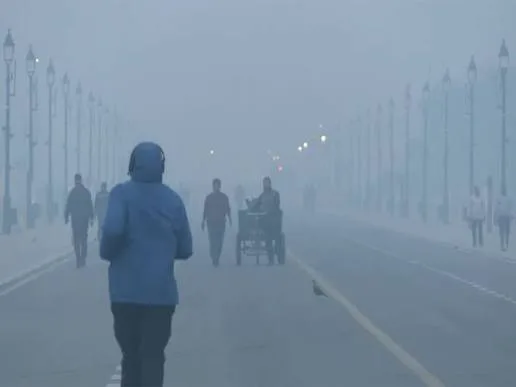
Press Enclave Marg link road gets detailed ground survey
The current survey is expected to establish the precise physical conditions along the proposed alignment. Officials will also examine properties belonging to the Delhi Metro and railways and record detailed coordinates and levels that can be used while preparing the road’s design.
The Press Enclave Marg link road is not a new proposal. The project was approved in principle by the governing body of the Unified Traffic and Transportation Infrastructure Planning and Engineering Centre (UTTIPEC) in November 2008. In 2012, UTTIPEC directed that the project be implemented and that encroachments on land required for the road be removed and handed over to the concerned road-owning agencies.
However, the project subsequently faced delays. In 2024, the Delhi government informed the Delhi High Court that a modified proposal had been approved in principle. The Delhi Integrated Multi-Modal Transit System (DIMTS) had indicated that the work could be taken up alongside the proposed Ambedkar Nagar-Moolchand bus rapid transit corridor, but the project remained stalled.
The latest survey is therefore significant because it will help officials establish the present ground conditions before finalising the alignment and other technical details.
Also Read | Prashant Kishor’s Jan Suraaj eyes Delhi after Bankipur bypoll win
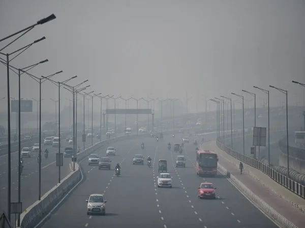
Press Enclave Marg link road targets major congestion points
The need for the Press Enclave Marg link road is linked to persistent congestion on the existing corridor. Press Enclave Marg is around 3.7 kilometres long and connects Sri Aurobindo Marg with Lal Bahadur Shastri Marg. The two-lane stretch passes several major commercial and public establishments, including shopping malls, hospitals and the Saket district court area.
A PWD traffic survey conducted in 2025 recorded peak-hour traffic of approximately 9,000 passenger car units (PCUs) during the morning and around 10,000 PCUs in the evening.
According to PWD, unauthorised parking, encroachments, narrow sections of the carriageway and congestion at junctions are among the factors affecting traffic movement on the corridor. The department had also considered changes around the Mandir Marg intersection in 2024, including shifting the central verge and making the stretch signal-free, but the proposal did not progress.
The Press Enclave Marg link road is expected to offer an alternative route for vehicles and could reduce dependence on the existing congested stretch. However, its eventual impact will depend on the final alignment, road design and how effectively traffic is distributed between the existing and proposed routes.
Also Read | Cyclone Arnab explained: Why it’s actually a deep depression
Press Enclave Marg link road timeline remains unclear
While the survey marks progress for the Press Enclave Marg link road, officials have not yet announced a construction schedule. The final alignment, total length, estimated construction cost and completion timeline will be determined after the ongoing survey is completed.
The technical exercise will also help identify potential constraints arising from existing infrastructure and properties along the proposed route. Mapping drainage, sewerage, utility lines, trees, roads and other structures at this stage is intended to help planners account for these features before construction begins.
The project’s long history also underlines the challenges involved in developing a new road connection in a densely built-up part of south Delhi. Although the link was approved in principle years ago, subsequent changes to the proposal and coordination with other transport projects contributed to delays.
The Press Enclave Marg link road is now being examined against the current traffic and infrastructure conditions of the area. Once the survey is completed, PWD will be in a position to determine the project’s detailed technical requirements and prepare the next stage of planning.